Îles d’Hyères
The Îles d'Hyères, also called the Îles d'Or, form an island group off the Var coast. For a cruise passenger, the essential distinction is which island the ship will visit.
Route overview
This guide covers a route or several places, so there's no single arrival point. Read the route notes for each stop.
France · Western Mediterranean
Checked by Najapi on · Source policy · Suggest a correction
Overview
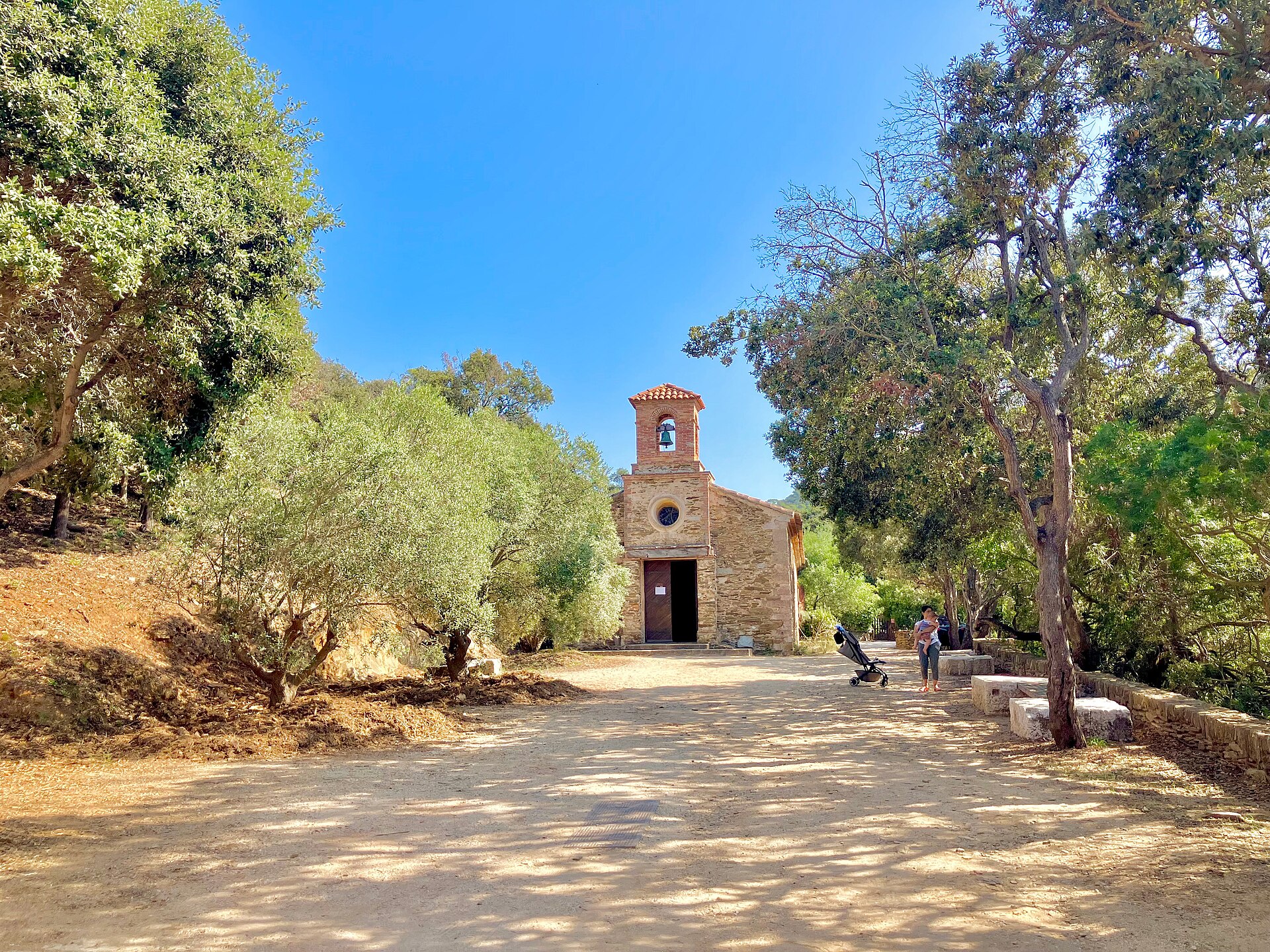
The Îles d'Hyères, also called the Îles d'Or, form an island group off the Var coast. For a cruise passenger, the essential distinction is which island the ship will visit. An itinerary labelled only “Îles d'Hyères” does not identify a tender landing, and it should not automatically be read as Porquerolles.
This is a regional overview. Each island has a different pattern of access and a different character ashore. A few hours are usually better spent on the island where you land than used to arrange an independent transfer to another one. Public ferries and cruise tenders have separate boarding arrangements, and a ferry ticket does not provide a return to an anchored cruise ship.
Port-Cros and the protected parts of Porquerolles are subject to national-park rules. Port-Cros is explored on foot; Porquerolles allows walking and cycling on authorised routes. Check the park's fire-access information before planning a woodland walk, since restrictions can remove much of an intended route. Take water from the village: the park warns that there are no water points outside the villages.
French is the local language, the currency is the euro (€), and 112 is the emergency number. Ferry departures, attraction opening periods and return arrangements should be checked directly for the day of travel.
Ports in This Region
- Porquerolles village harbour. The harbour is on the island's north coast, with the village immediately inland. Walking, an authorised cycle route, a beach visit or Fort Sainte-Agathe can form a local day, subject to the ship's landing instructions and current park access.
- Port-Cros harbour. This small harbour provides access to the village and the walking routes of Port-Cros. The national park manages the harbour; confirm any cruise landing separately from the arrangements for visiting yachts and scheduled passenger boats.
- L'Ayguade du Levant. This is the landing port for the inhabited western part of Île du Levant, associated with the naturist settlement of Héliopolis. Much of the island is military land and inaccessible to visitors; this should be a deliberate destination choice, with the available public area and local naturist conventions understood beforehand.
- Bagaud, La Gabinière and Le Rascas. These three islands and islets form an integral nature reserve closed to ordinary visitors. Do not plan an independent landing on them.
For travel from the mainland, TLV-TVM publishes current island ferry information: the principal Porquerolles route starts at La Tour Fondue, while Port-Cros and Le Levant services depart from Hyères port. Check the actual origin when booking; Hyères town, Hyères port and La Tour Fondue are different places.
Sources
Sites consulted: portcros-parcnational.fr, destination.portcros-parcnational.fr, tlv-tvm.com, cotedazurfrance.fr, european-union.europa.eu, service-public.gouv.fr. Details can change after a guide is checked, so confirm time-sensitive points with the operator. How we check our guides.
Printed from https://portatlas.co.uk/europe/france/iles-hyeres/. Guide check date appears above; consult the sources for time-sensitive details.